


St James South Elmham: Putting St James on the Map
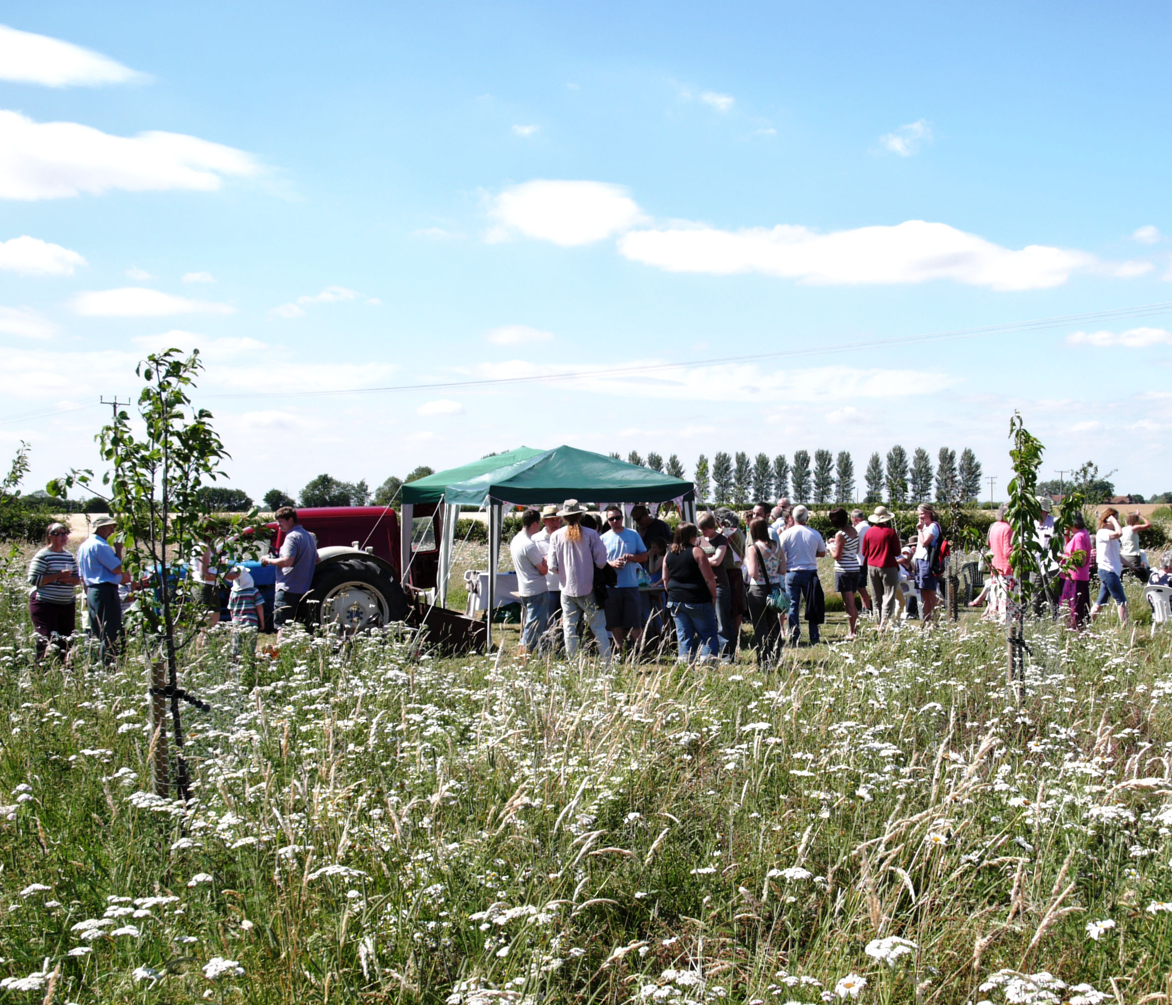
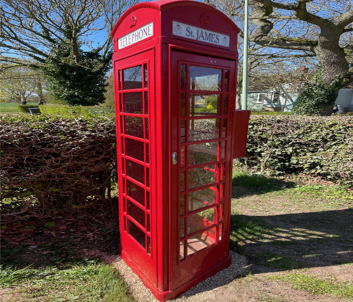
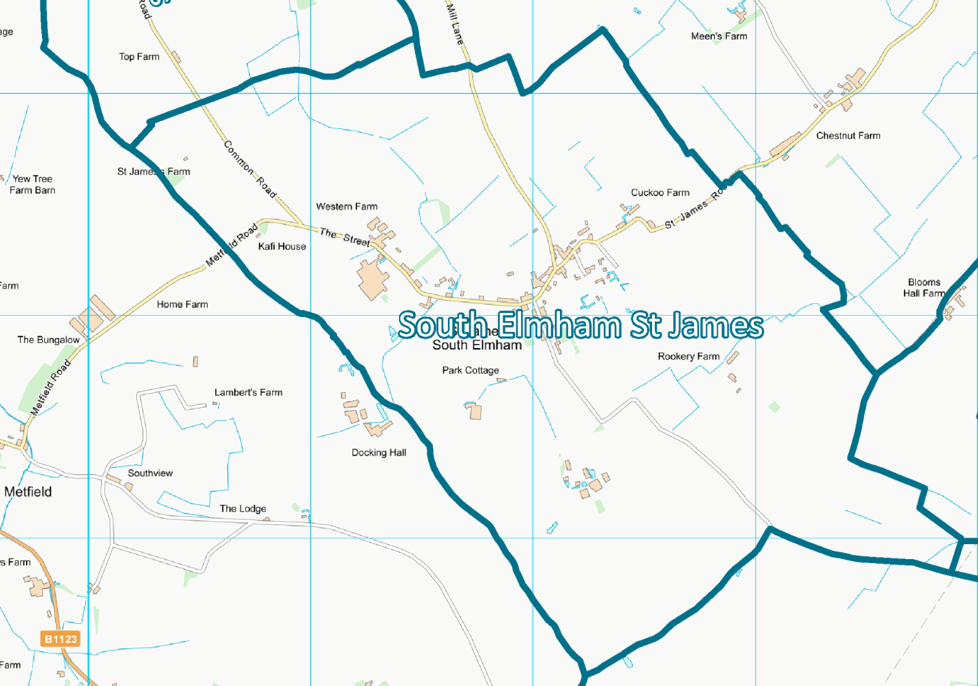
Welcome to St James South Elmham which is set in a quiet corner of North Suffolk. It is one of the six South Elmham parishes (villages where elms grew) each named after its church’s patron saint, which – together with the four adjacent Ilketshalls - are known locally as “The Saints”.
The South Elmham parishes, together with nearby Flixton and Homersfield, made up the deanery and township given to the Bishops of Dunwich who evangelised this part of Suffolk; subsequent Bishops of East Anglia held all the South Elmham deanery manors. An area known as St James’ Park in the south of the parish was the deer park which was still used by the Bishops of Norwich in the 12th and 13th Centuries. The Anglo-Saxon parts of St James church are evidence of much earlier roots.
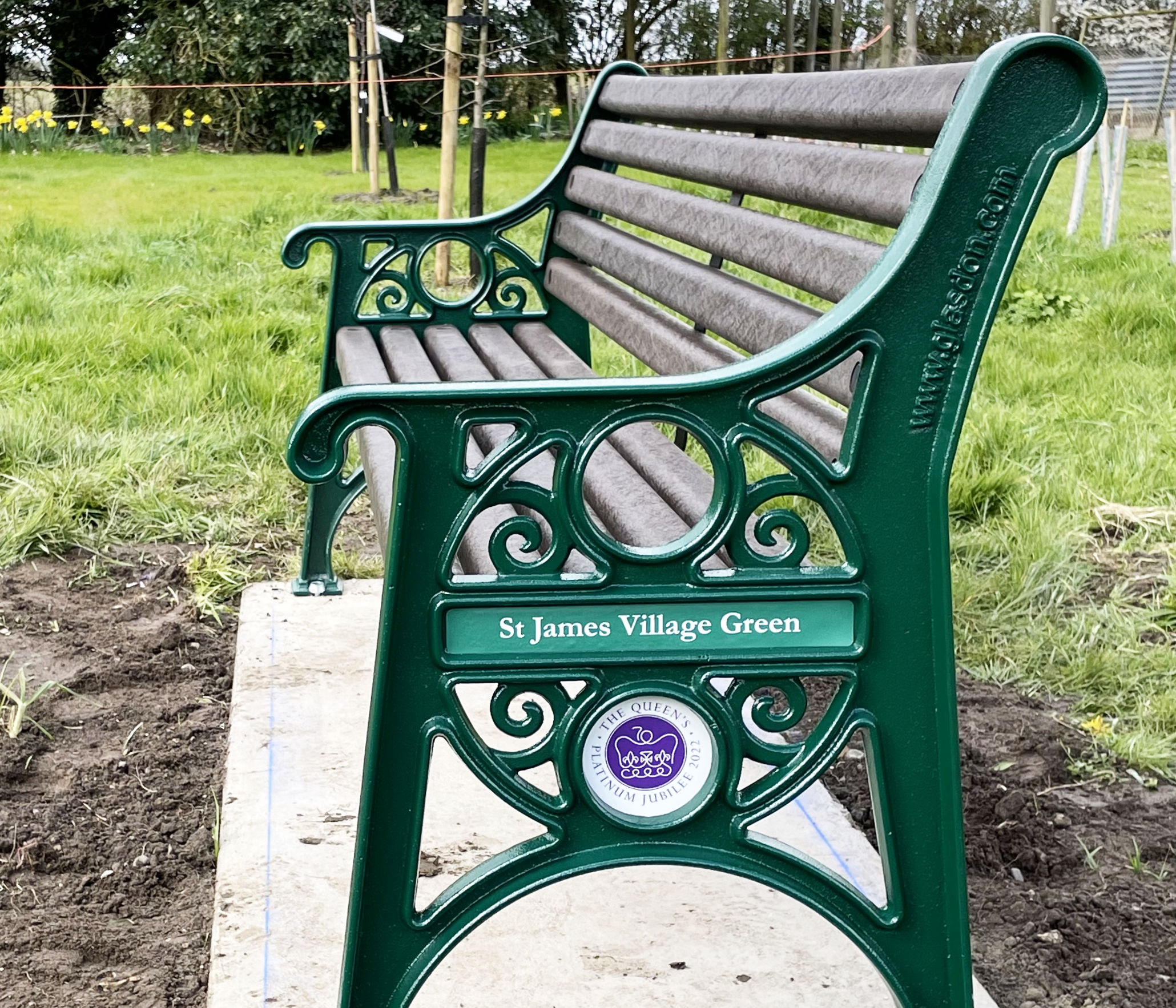
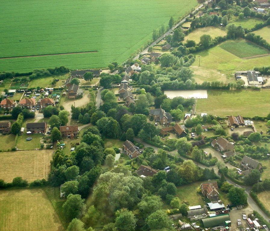
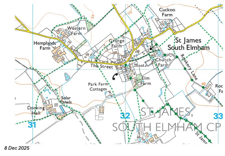
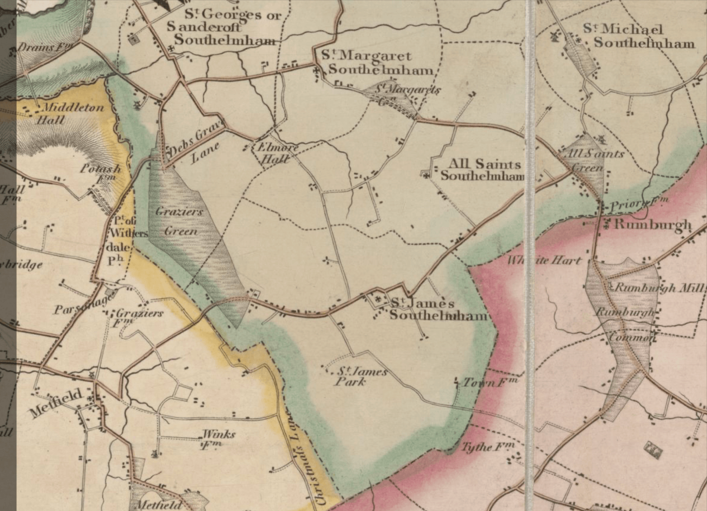
Nowadays, the village has a population of around 205 in 88 dwellings spread over an area of about 5km2 . Here is a more detailed map of the village layout – the importance of farming is still very evident:
St James South Elmham has featured on maps of Suffolk from the earliest days of printed maps. We have included some examples showing our village below.
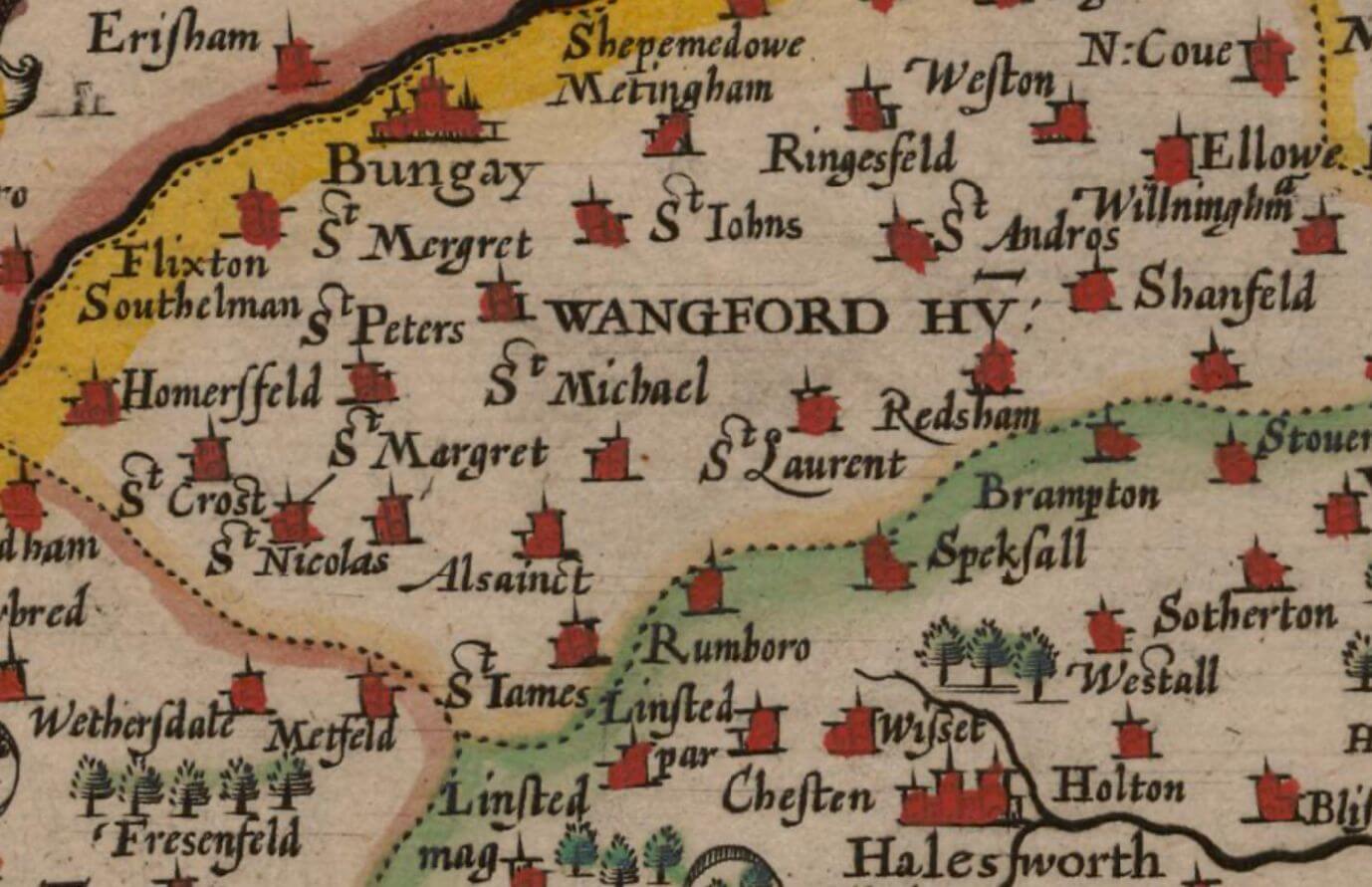
We are featured on the first ever printed map of Suffolk by Christopher Saxton in 1579
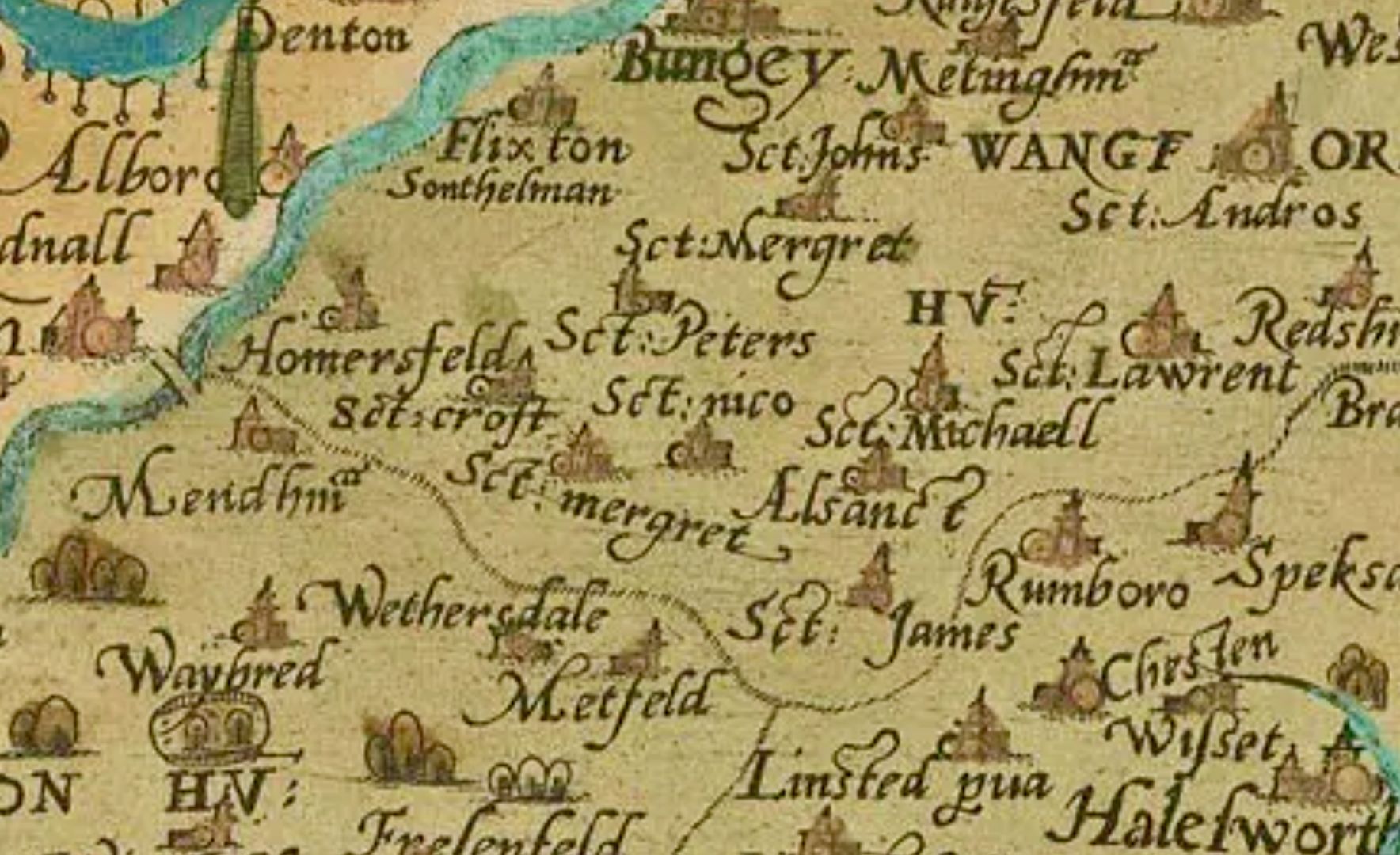
Map above reproduced courtesy of the National Library of Scotland, 2026
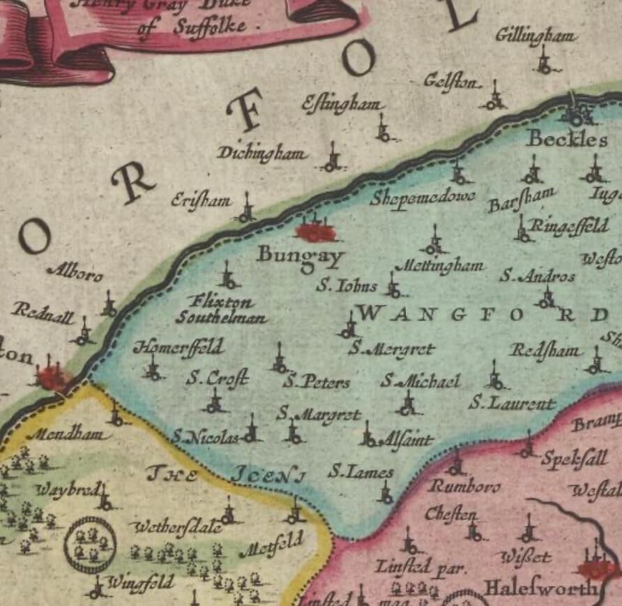
Here is one by Speed in 1611:
Map above reproduced courtesy of the National Library of Scotland, 2026
And by Blaeu in 1662-5:
Map above reproduced courtesy of the National Library of Scotland, 2026
Just over 70 years later in 1737 John Kirby produced a more detailed map including roads and more geographic detail
(“An actual survey of the county of Suffolk, taken from ye original survey publish'd in ye year 1736, but now contracted to half that scale by the author”)
Map above reproduced courtesy of the National Library of Scotland, 2026
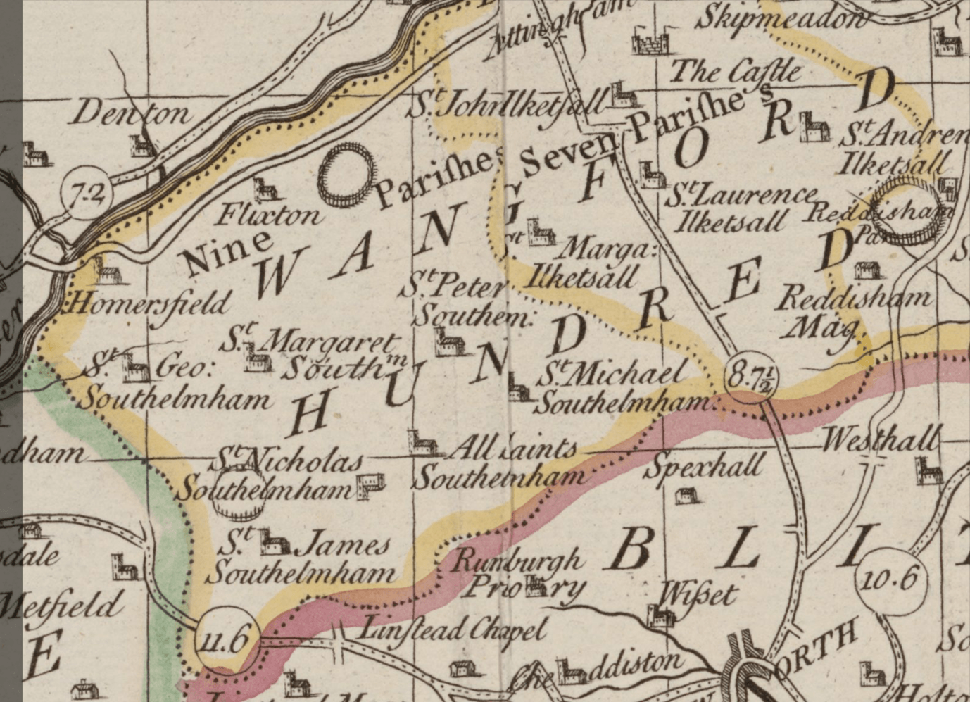
In 1783 Joseph Hodskinson published his well-known map of Suffolk :-
Map above reproduced courtesy of the National Library of Scotland, 2026
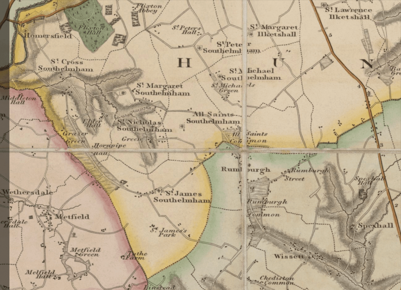
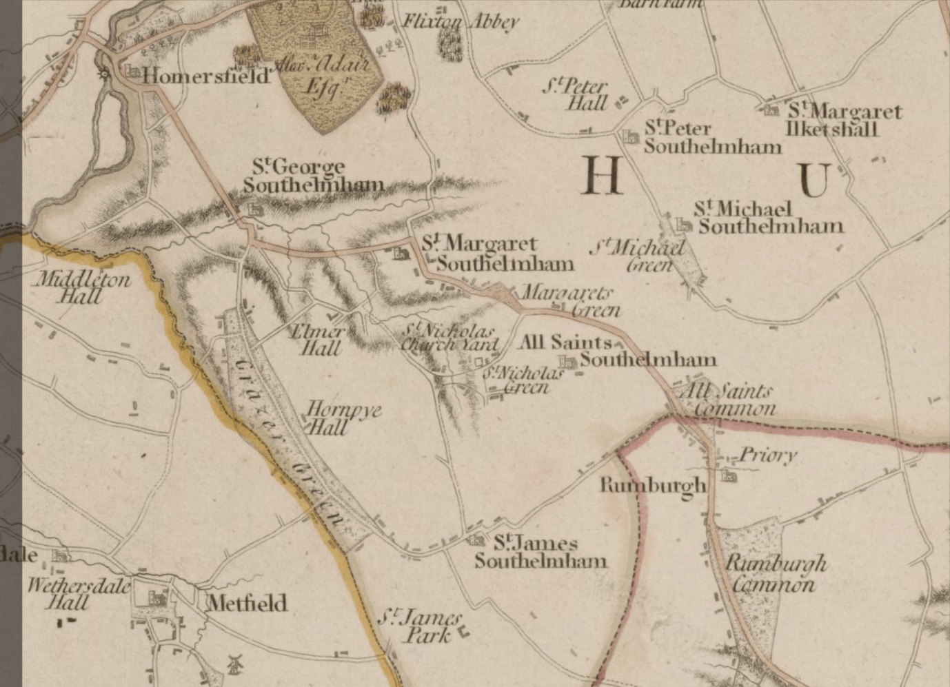
In the 19th Century Christopher and John Greenwood (1823) and A. Bryant (1826) both produced new maps of the county:
Map above reproduced courtesy of the National Library of Scotland, 2026
Map above reproduced courtesy of the National Library of Scotland, 2026
Jarrold’s map of 1909 was much more densely packed:
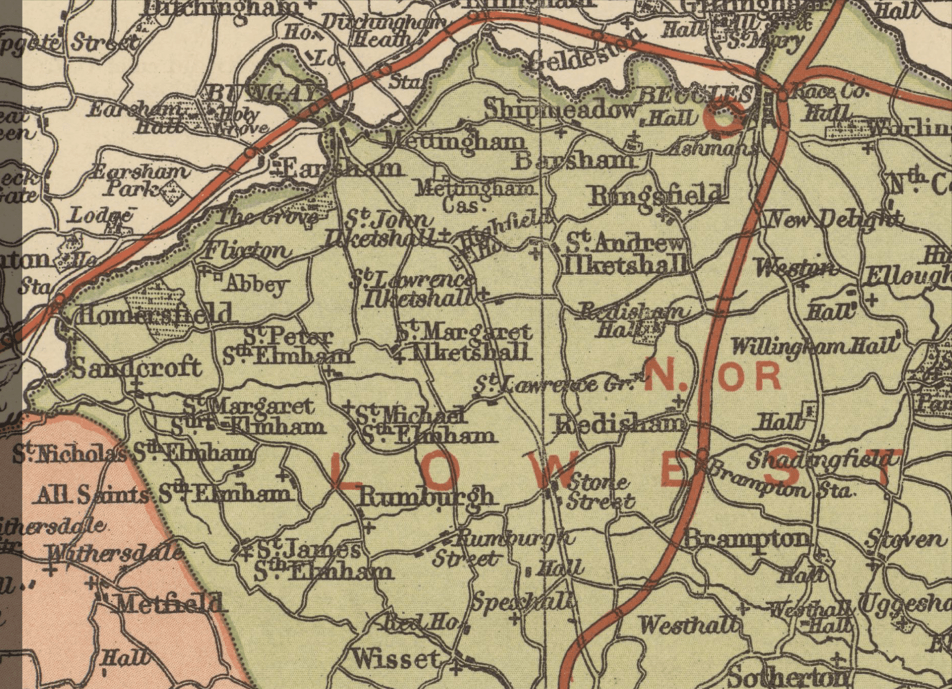
Map above reproduced courtesy of the National Library of Scotland, 2026