

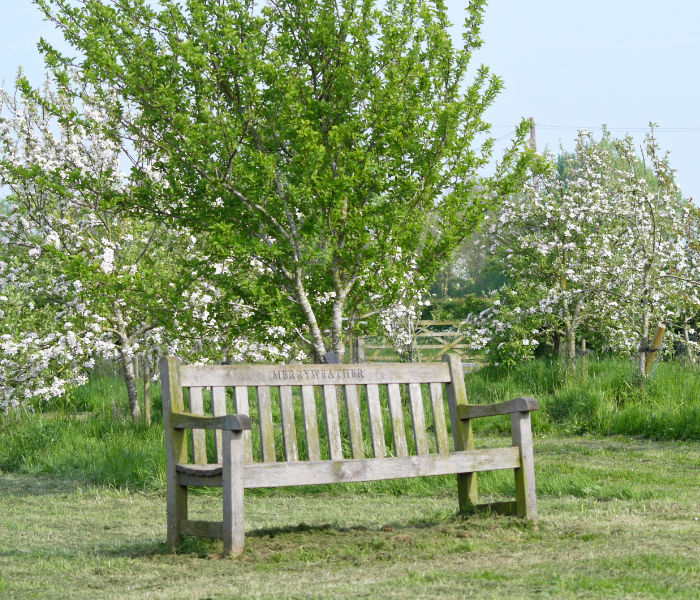

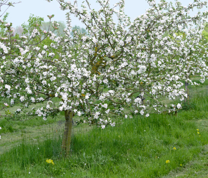
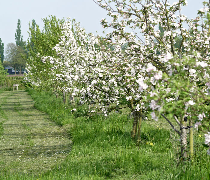
The Orchard Field
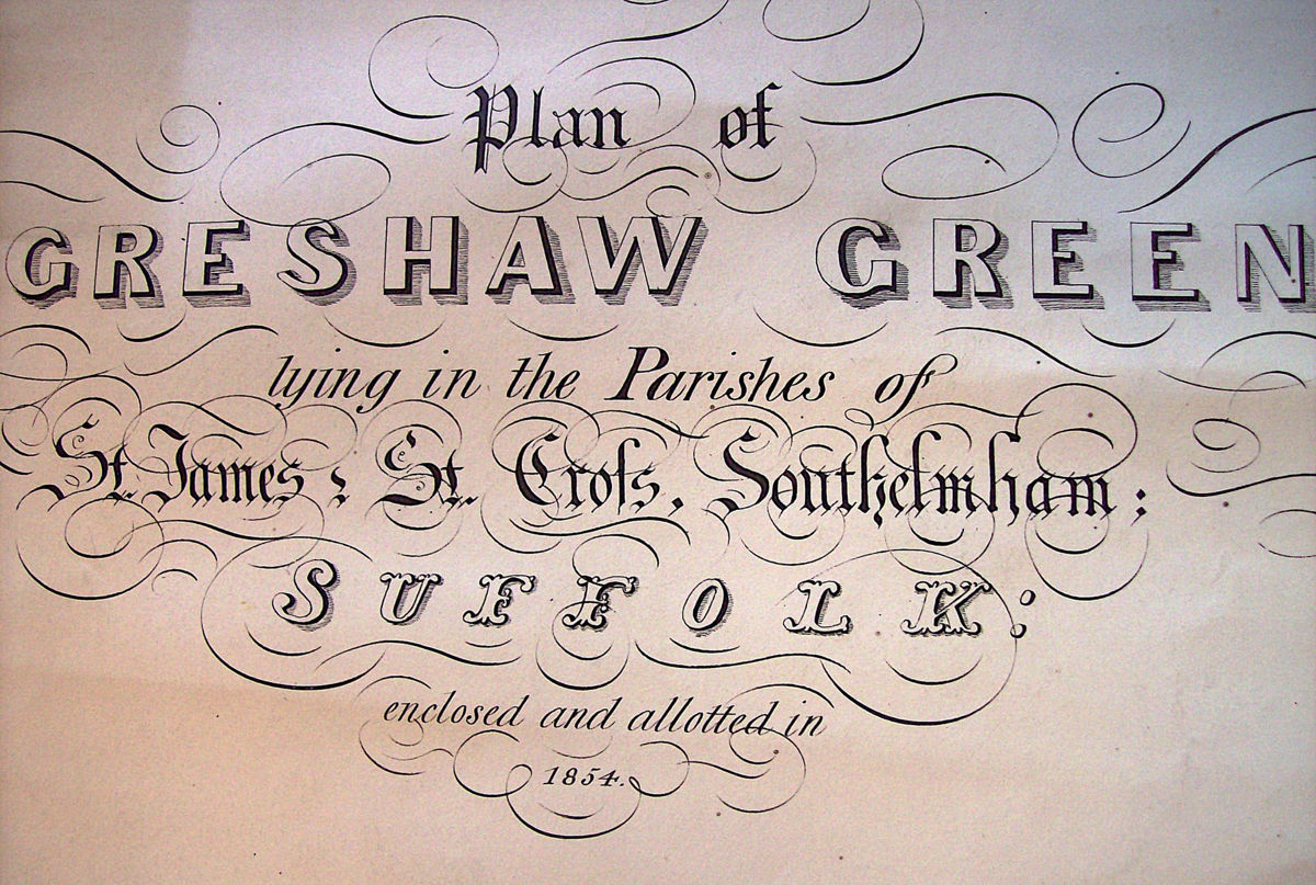
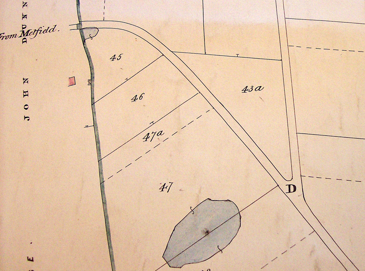
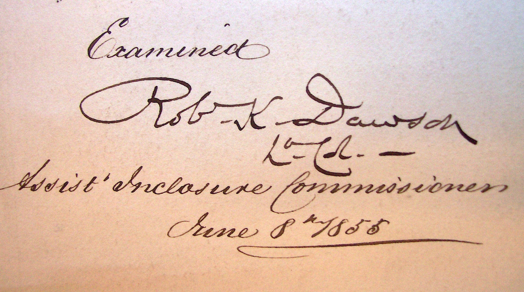
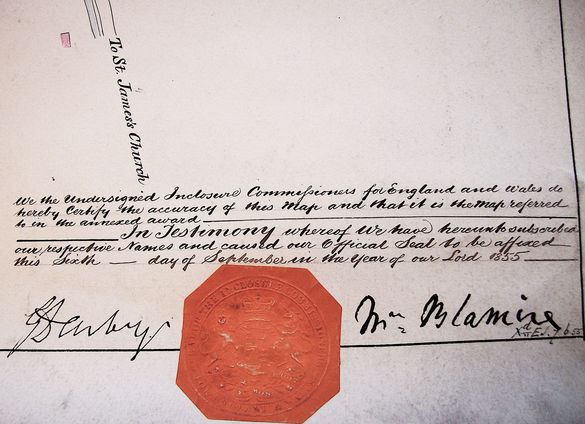
Before 1849, the land to the west of St James was known as Greshaw Common. Following the Inclosure Act of 1845 this common land was ‘enclosed’ by hedges and allotted to the responsibility of various landowners. John Stagoll, surveyor, of Halesworth assigned a John Howlett of Wissett to measure and map out the various inclosures in accordance with the Act. The triangular piece of land of an acre at the junction of Metfield Road and Common Road was awarded to St James South Elmham for a particular purpose…

The award also directed “that the Fences on the east and west sides of such Allotment shall from time to time be repaired and maintained by and at the expense of the Churchwardens and Overseers of the Poor of the said Parish for the time being.” The responsibilities of the Churchwardens and Overseers in relation to the Inclosure were passed to the Parish Meeting following the Local Government Act of 1894. The members of the Parish Meeting Committee became the Trustees of the Greshaw Green Inclosure. In past years, the Inclosure has been let to any resident of the village with a good use for the land with payments from the rent from such letting being used to help “the poor and needy, or any such persons in distress” of the village.
In more recent years, the Inclosure had been let to any resident of the village with a good use for the land with payments from the rent from such letting being used to help “the poor and needy, or any such persons in distress” of the village.
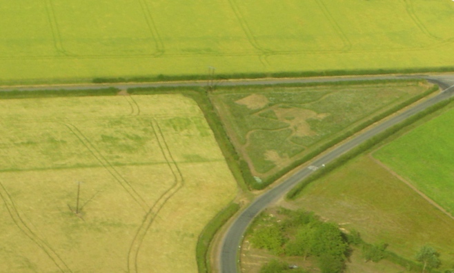
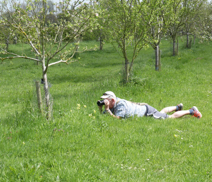
When the land became available early in 2009, half a dozen villagers formed the St James Orchard Project Team and proposed taking a long lease on the field to plant an orchard and assure charitable income for the Trustees. This was received with warm support and the orchard was on its way…